by Mahalia Pearson, age 13
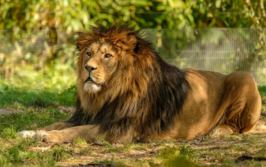
When people envision lions, they typically think they are from Africa, but lions can be found in different geographical areas around the world such as India, one example being the Asiatic lion. The Asiatic lion is one of the rarest types of cat species. Not only is it called an Asiatic lion, but it is also referred to as the Persian lion.
The coat of this carnivore consists of many colors such as black, dark brown, sandy, and gray. The Asiatic lion is smaller than the well-known African lion and has a short, sparse, and dark mane that makes its ears more visible compared to the African lion. Another distinction is that the Asiatic lion has a longitudinal fold of skin that goes along its belly.
The Asiatic lion lived in habitats ranging from Turkey and across Asia to Eastern India. Unfortunately, this creature has been hunted down to the point of near extinction. Currently, these lions are prone to diseases, disaster, and potential poaching. They also have to deal with the consequences of a growing population of humans and cattle. With larger human populations that demand more land for agriculture and settlement, the habitats of these lions are slowly disappearing. [Read More]